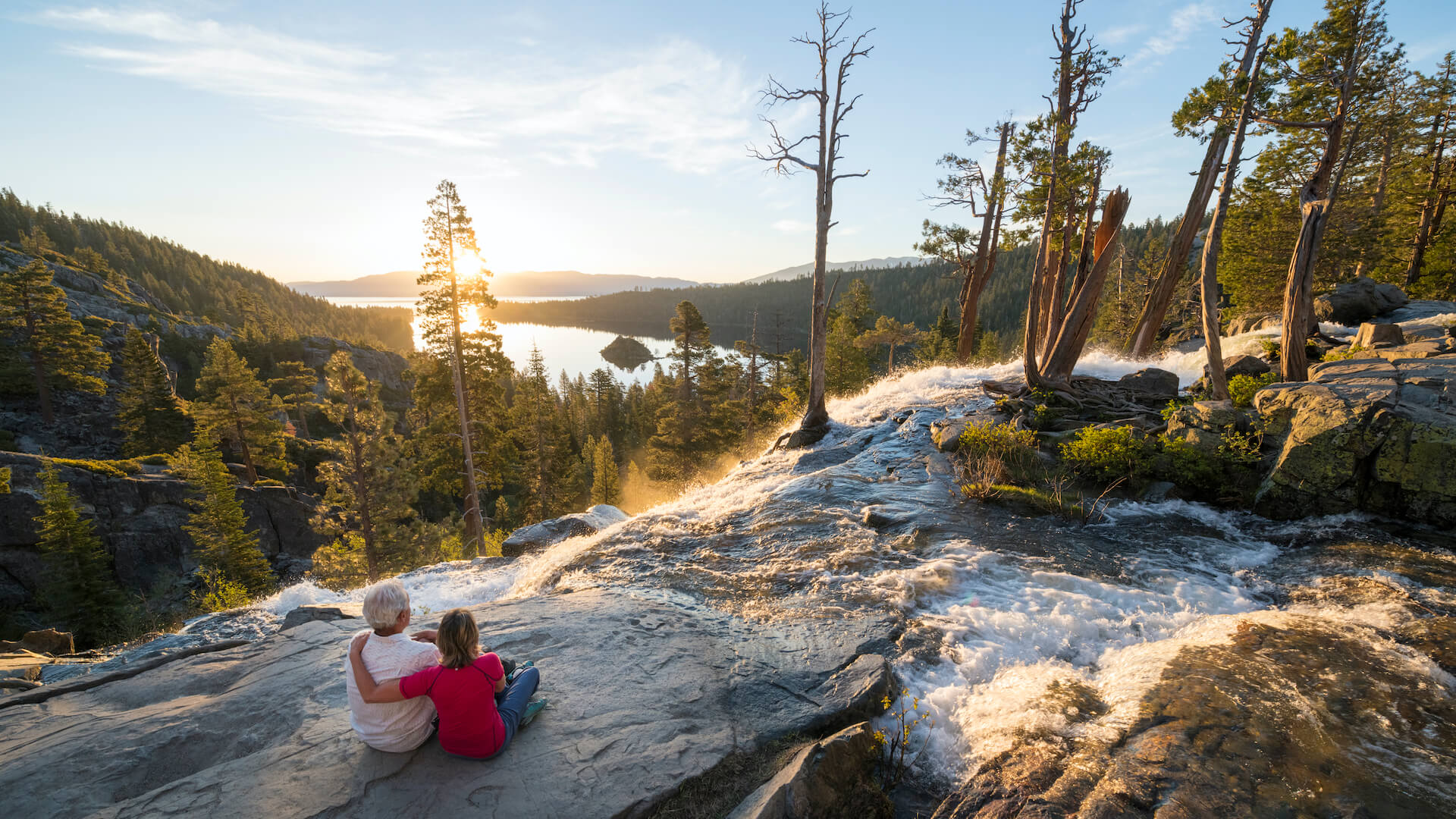
With lots of snow still in the mountains, the waterfalls around Lake Tahoe will be flowing strong this summer! Here are our top recommendations for Lake Tahoe waterfalls:
Cascade Falls
Cascade is probably one of the best short hikes you can do in the Emerald Bay area. It is only 1.5 miles round trip from the Bayview Campground. Stepped out along the rocks, the trail will lead you to the top of the Lake Tahoe waterfall with great views of Cascade Lake and, of course, Lake Tahoe! The waterfall is about 200 feet and is very impressive. This is one of the most popular in the area, so parking will be difficult. Take Hwy 89 north from the Hwy 50 junction for 7.5 miles to the Bayview Campground. Parking is in the back past the campsites.
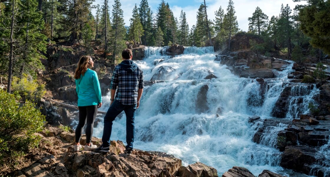
Glen Alpine Falls
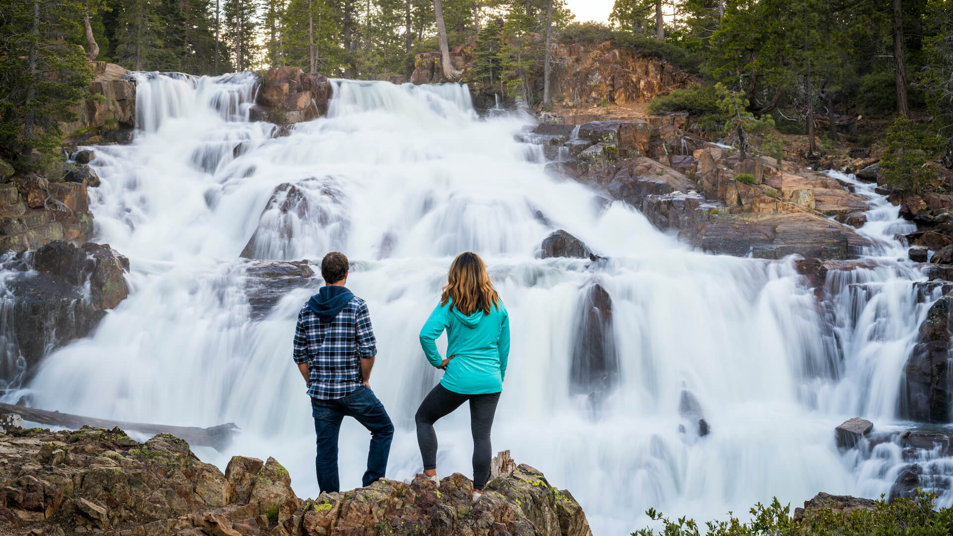
This is a great destination that is a little off the beaten path. Both the upper and lower falls here offer an up-close experience with the rushing water. The upper falls is a one mile, round trip hike where the falls drop about 30 feet. The trail heads up the backside of Mt. Tallac and into Desolation Wilderness, but hang left once you see the falls and the trail will take you up to the top. The lower falls are more impressive, plummeting about 60 feet down the step-like rocks. The best part of the lower falls is that there is virtually no hike to get there. Simply park and stroll down to the already visible rushing waters. Take Hwy 89 north from the Hwy 50 junction for about 3 miles. You will see Fallen Leaf Road on your left. Take Fallen Leaf Road about 5 miles and continue left upon seeing the marina and signs for the falls. Continue straight past the firehouse and parking for the lower falls is along the right side of the road. Continue further and you’ll arrive at the parking lot for Desolation Wilderness and the upper falls.
Upper Eagle Falls
This easy, half-mile round-trip hike is one of the most popular in the area and excellent for any level of hiker. The falls themselves are only about 25 feet, however, rewarding nonetheless. Get there as soon as possible as the parking lot fills quickly. Take Hwy 89 north from the Hwy 50 junction for 8.5 miles to the Eagle Falls Picnic area. (Fee required)
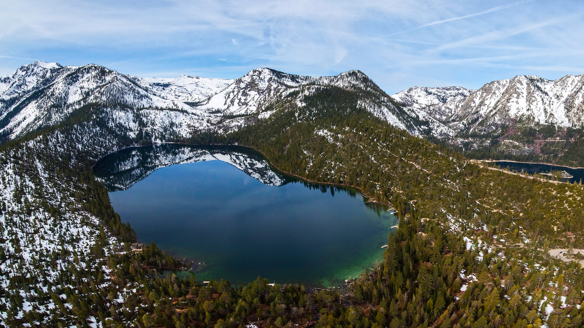
Lower Eagle Falls
A slightly more difficult hike than the upper falls, but a much bigger reward! A moderate, 2.1 mile round trip hike will bring you down to the water level of Emerald Bay on a well-maintained trail. The water here cascades down about 150 feet and is really impressive. Check out the Vikingsholm Castle while down there, too. The return hike can be difficult so be careful, as it is a steep climb back up the path. Take Hwy 89 north from the Hwy 50 junction for 9 miles to the Emerald Bay/Vikingsholm State Park lot. (Fee required)
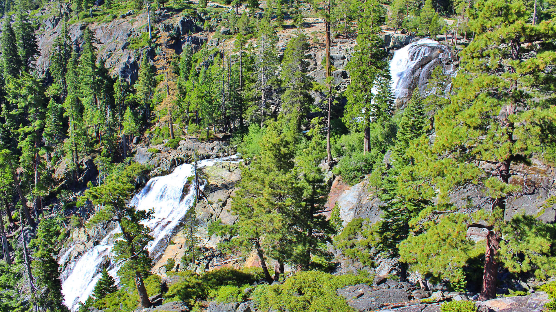
Fontanillis Lake Falls
This Lake Tahoe waterfall is reserved for the more experienced of hikers. There are two different routes to get here, both which are just over 10 miles round trip and link with the Tahoe Rim Trail and PCT before hitting the falls. The waterfall is beautiful, sliding down the rocks 150 feet into Upper Velma Lake with a glimpse of Tahoe from the top. This hike has a lot of elevation change and sun exposure, so it is advised to start early, bring plenty of water/food/sunscreen and know your route. The first route is via the Eagle Falls trailhead. This way will take you past Eagle Falls, Eagle Lake then Lower, Middle and Upper Velma Lakes. The second route is a bit more difficult, as you summit South Maggie’s Peak along the way, and is via the Bayview Trailhead. Head right at the start as the left takes you to Cascade Falls. From there you will pass Granite Lake before hitting the Maggie’s Peak, which gives a great look out into Desolation Wilderness. Continuing on brings you down the saddle of the peak towards Lower and Upper Velma Lakes before arriving at the falls. Dick’s Lake is also a great side trip from this route. For the Bayview route, refer to Cascade Falls. For the Eagle Falls route, refer to Upper Eagle Falls.
Horsetail Falls
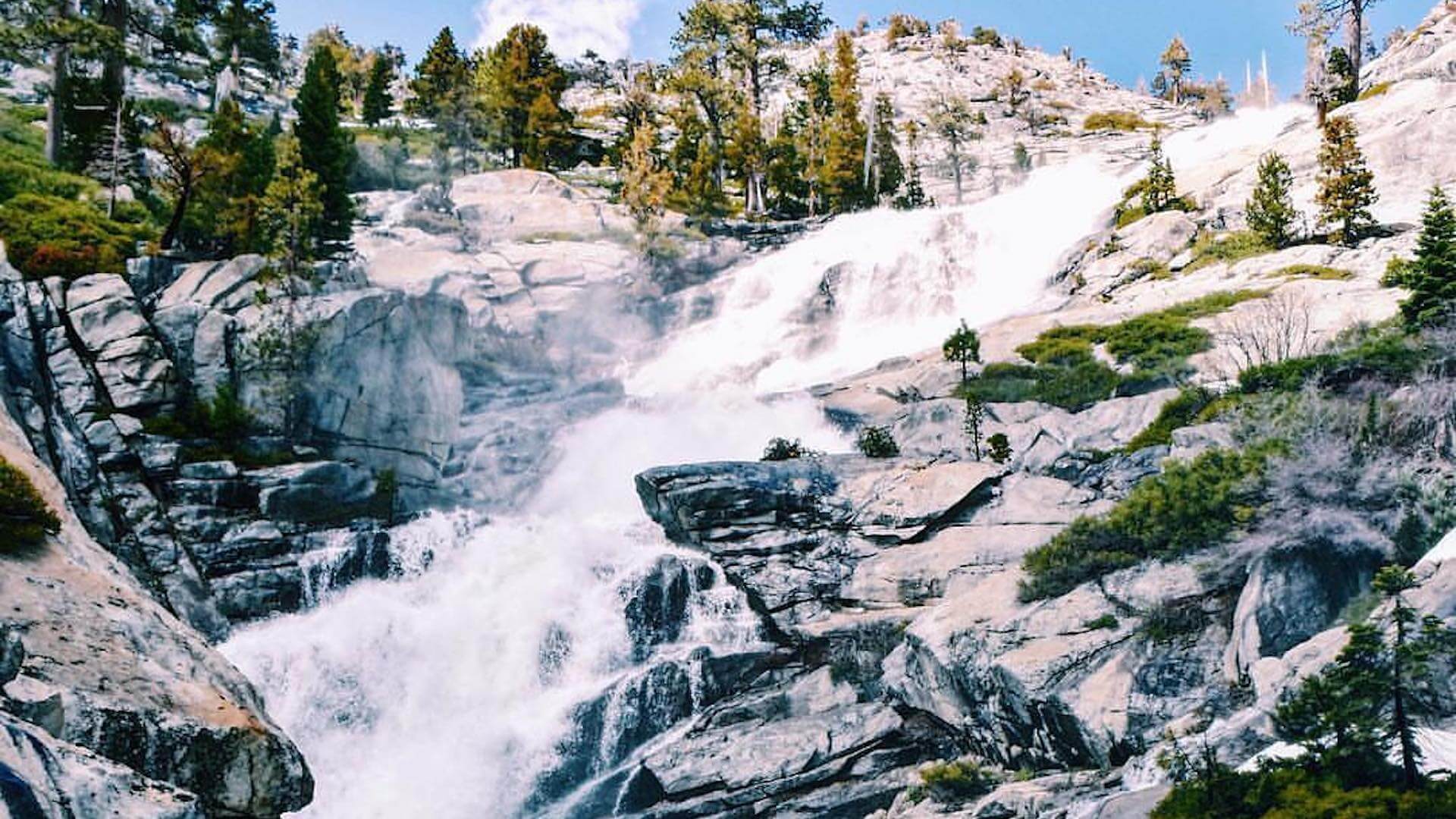
Horsetail is a bit out of the way, but a great half day trip from Tahoe. The hike is pretty difficult as the trail is not all that clear at times and the rocks can be slippery. It is about 3 miles round trip but can take some time. Keeping the creek to your right and the falls straight ahead will lead you up just fine. On your way, look to the ridge on the right for other, smaller falls if it is early enough in the season. The falls themselves are massive, cascading nearly 500 feet! A Desolation Wilderness day pass is required and can be found at the trailhead. Take Hwy 50 West from South Lake Tahoe towards Twin Bridges. The trailhead is located on the right side after some switchback, steep downhill turns. Keep an eye out as you can easily see the falls from the highway. (Fee required)
If you’re hiking with your dog, note that dogs are allowed (on leash) on each of these trails, except Lower Eagle Falls. Please be safe – water can flow fairly rapidly in early spring and summer in Tahoe.
Lake Tahoe Waterfall Guide